
The "Big Beautiful Bill" and What it Means for Public Lands
By
Lynn Celek
on
June 23, 2025
You may have heard that the Senate recently passed its version of the so-called “Big Beautiful Bill.” It’s now back in the House for further review, with the goal of passing a final version by July 4th.
Among the funding for military construction and infrastructure projects, there’s one provision tucked in that deserves a closer look: it would allow the federal government to sell off millions of acres of public land in the western United States.
Here’s what that means, what it doesn’t mean, and why it matters.

What's in the Bill?
The bill authorizes the sale of up to 0.75% of Forest Service and Bureau of Land Management (BLM) land in 11 western states. That might sound small—but 0.75% of those holdings comes out to 2–3 million acres of public land.
The goal, according to supporters of the provision, is to free up land for development—particularly for housing.
Source: The Hill
Which Lands Are We Talking About?
The affected land comes from BLM and Forest Service parcels in:
Alaska, Arizona, California, Colorado, Idaho, Nevada, New Mexico, Oregon, Utah, Washington, and Wyoming.
What Are These Lands Used for Now?
Most of these lands are multi-use public spaces. People use them for:
Hiking
Camping
Fishing
Hunting
Horseback riding
Wildlife watching
They’re also important for conservation, acting as wildlife corridors and migration routes.
Some parcels support timber harvesting, grazing, and resource extraction, but much of the land is scenic, open space that draws tourists and locals alike.
(Want to go more in-depth? Read “What are Public Lands?” )
Does This Include National Parks?
Not directly.
The eligible land does not include national parks or national monuments.
National parks like Grand Teton, Sequoia, or Joshua Tree are protected. They can’t be sold under this provision.
But the land surrounding those parks can be.
What Will These Lands Be Used For?
While some lawmakers say this is about solving the housing crisis, there is no requirement that this land be used for affordable housing, and no process in place for public input.
In fact, many of these parcels are too remote for affordable housing, lacking basic infrastructure like water, sewer, or roads.
More likely, these lands could become:
Industrial sites for logging, mining, or drilling for oil and gas
Ranching operations
Closed-off, no-entry private land for vacation estates or luxury properties
Why This Matters
Public land surrounding parks function as buffer zones for wildlife and visitors. They’re part of the same ecosystem. Selling them off could disrupt animal migration, trail access, and watershed health—all of which affect the national parks themselves.
It also means land you can currently visit will no longer be public.
What You Can Do
Awareness matters. The more people know what’s happening, the more likely it is that we can push for public input and responsible land management. There is still time to contact your House representatives.
National Parks & MapCuts
We love the great outdoors—so much so that we created a National Parks Travel Map to help you track your adventures. Since we’re based in Cuyahoga Falls, Ohio, we also designed an Ohio State Parks Travel Map for our fellow Buckeye explorers.
These maps highlight protected places across the U.S. where you can still hike, camp, and enjoy the land we all share.

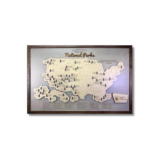
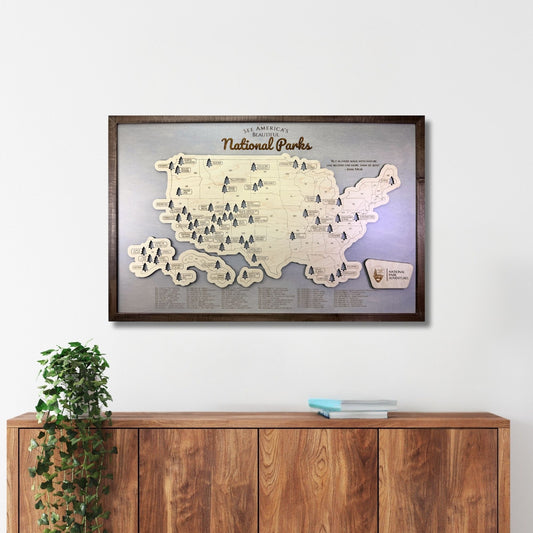
National Park Travel Map
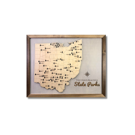
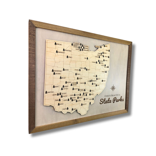
Ohio State Park Travel Map
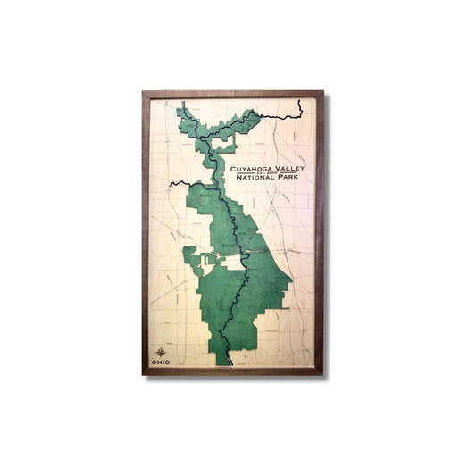
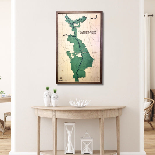
Cuyahoga Valley National Park Customized Wood 3D Map
Check Us Out
MapCuts is a small business based in Cuyahoga Falls, Ohio.
We create custom wooden maps of your favorite lake, river city, golf course, park, and more.
We've fulfilled over 12,563 orders across all platforms.
